Pike-San Isabel National Forest
Date: 11/01/2019
State: CO
Issue: Wild Lands
Partners: Colorado Mountain Club, Continental Divide Coalition, Greater Arkansas River Nature Association, Quiet Use Coalition, Wild Connections
Mission
Flights over roadless areas in the Pike-San Isabel National Forest with Colorado Mountain Club, Continental Divide Coalition, Greater Arkansas River Nature Association, Quiet Use Coalition and Wild Connections generated media and comments in time for forest plan revision scoping.
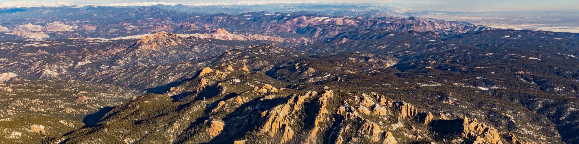
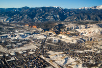
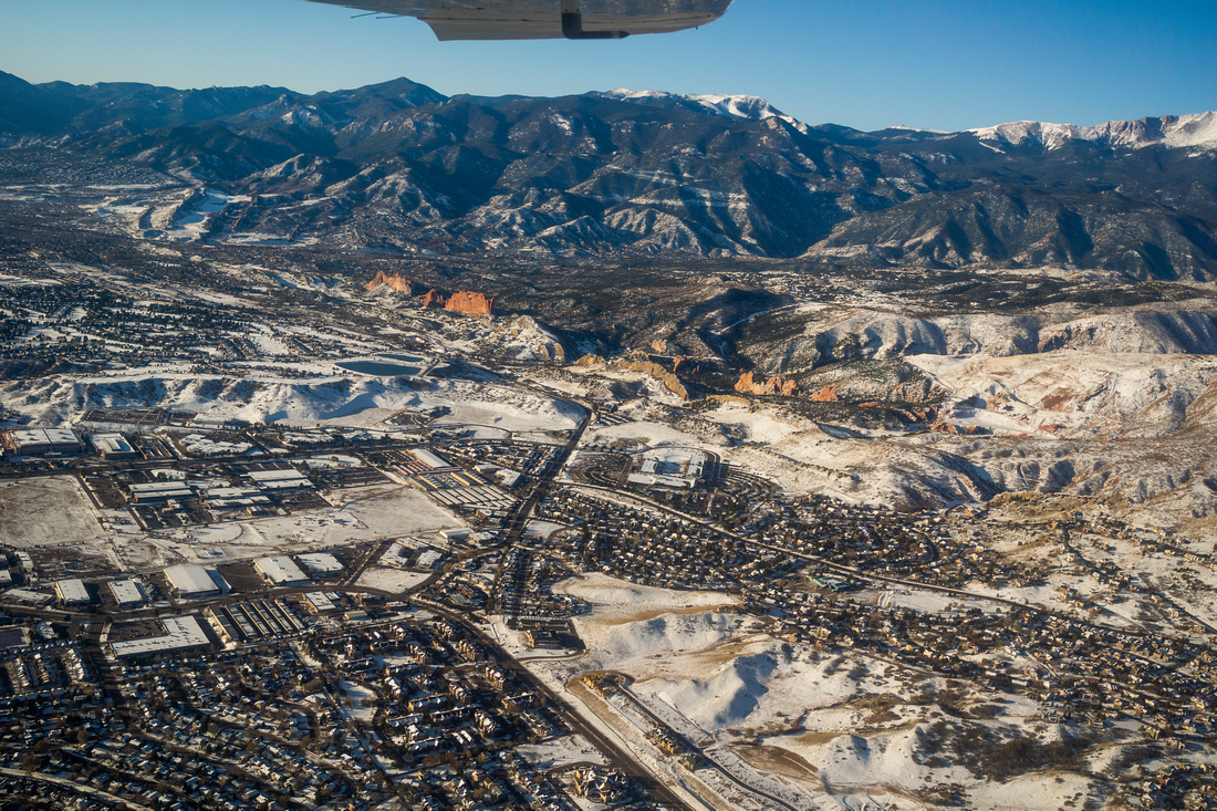
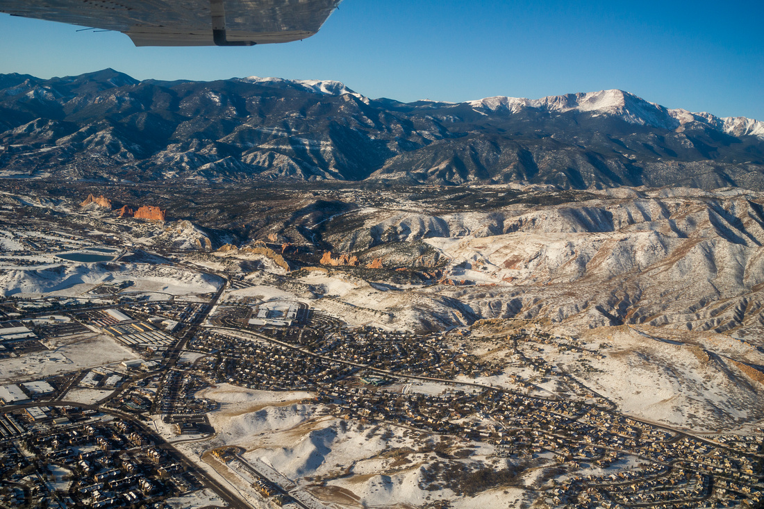
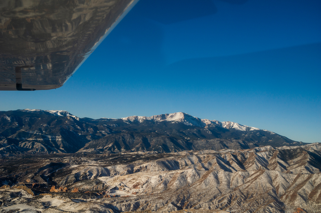
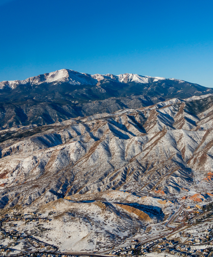
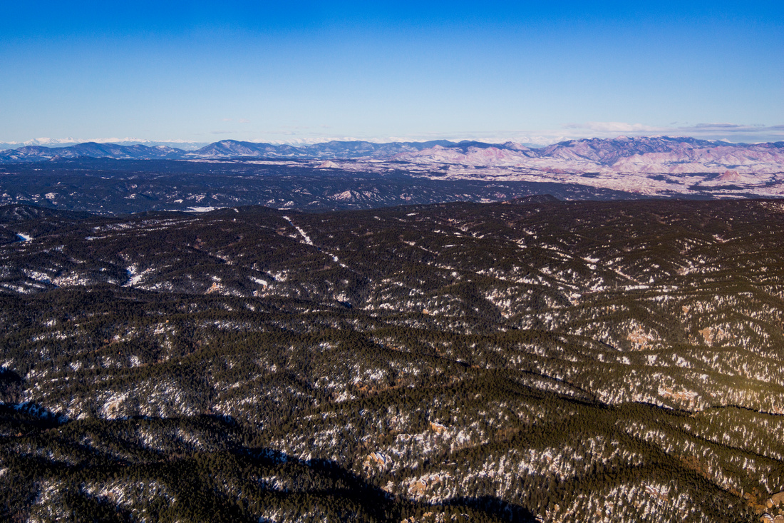
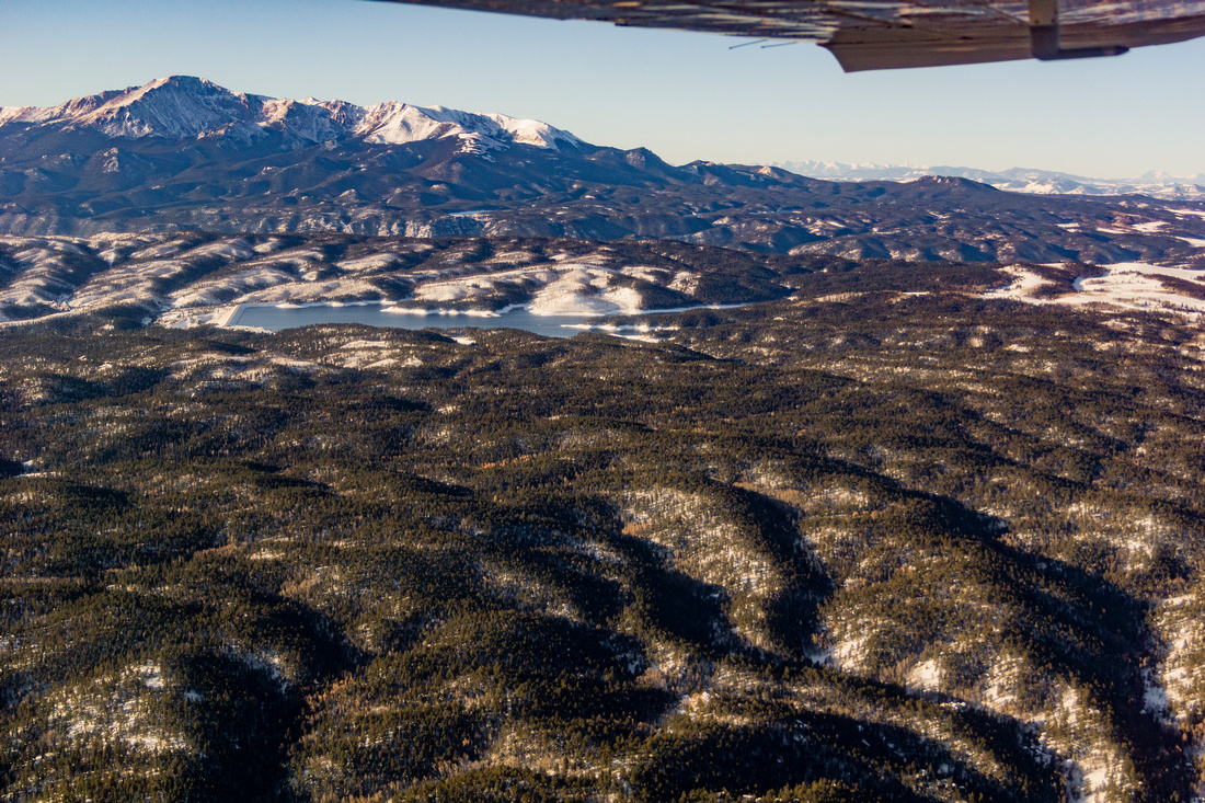
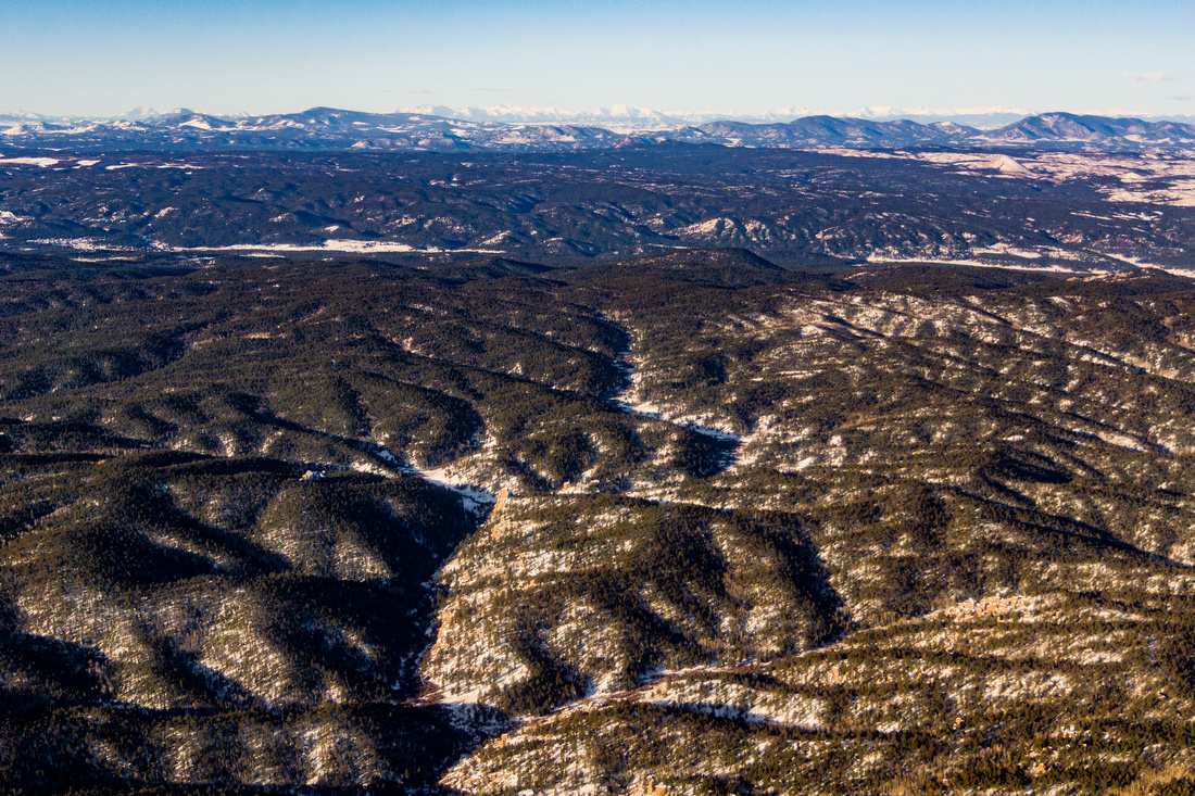
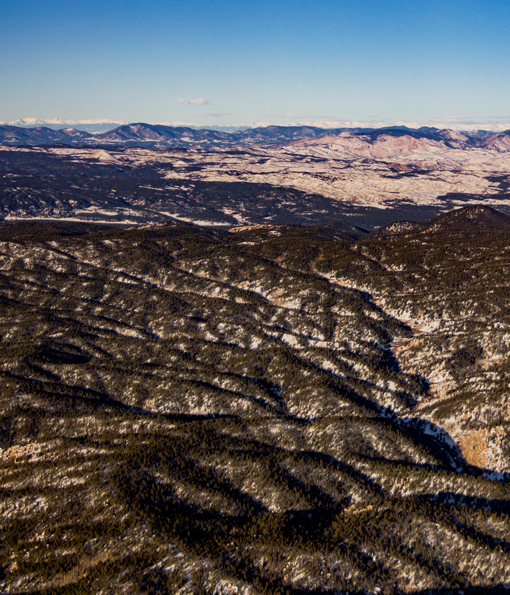
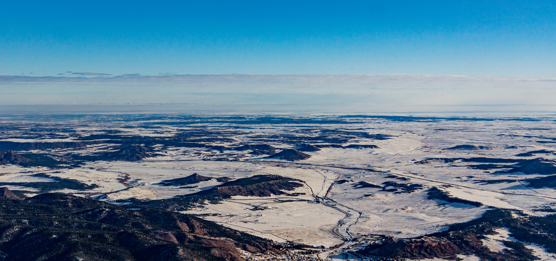
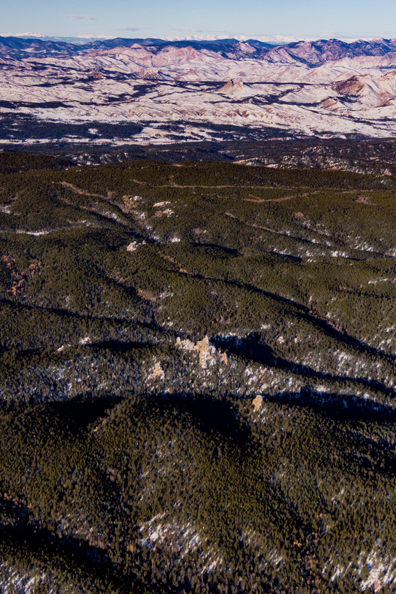
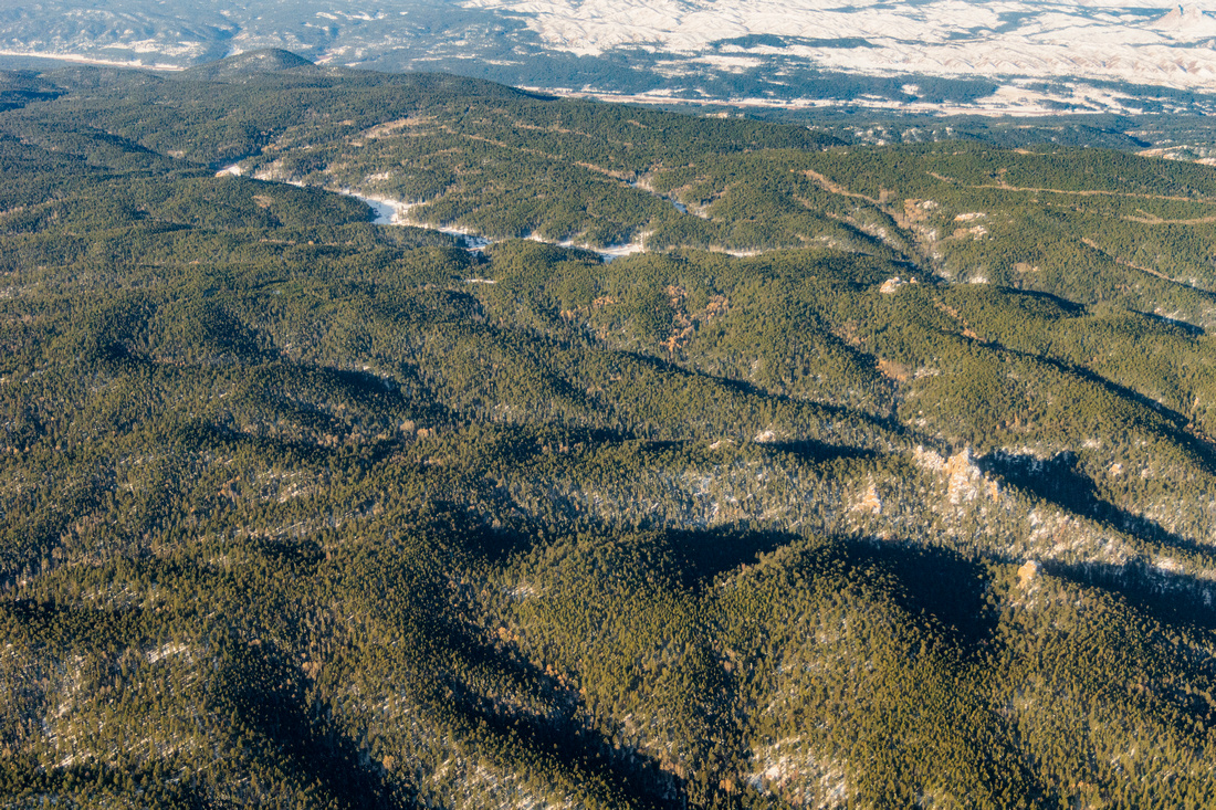
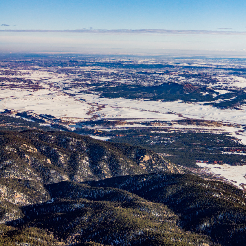
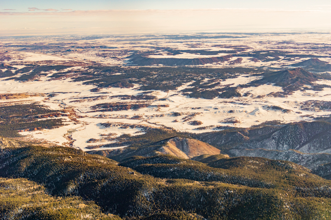
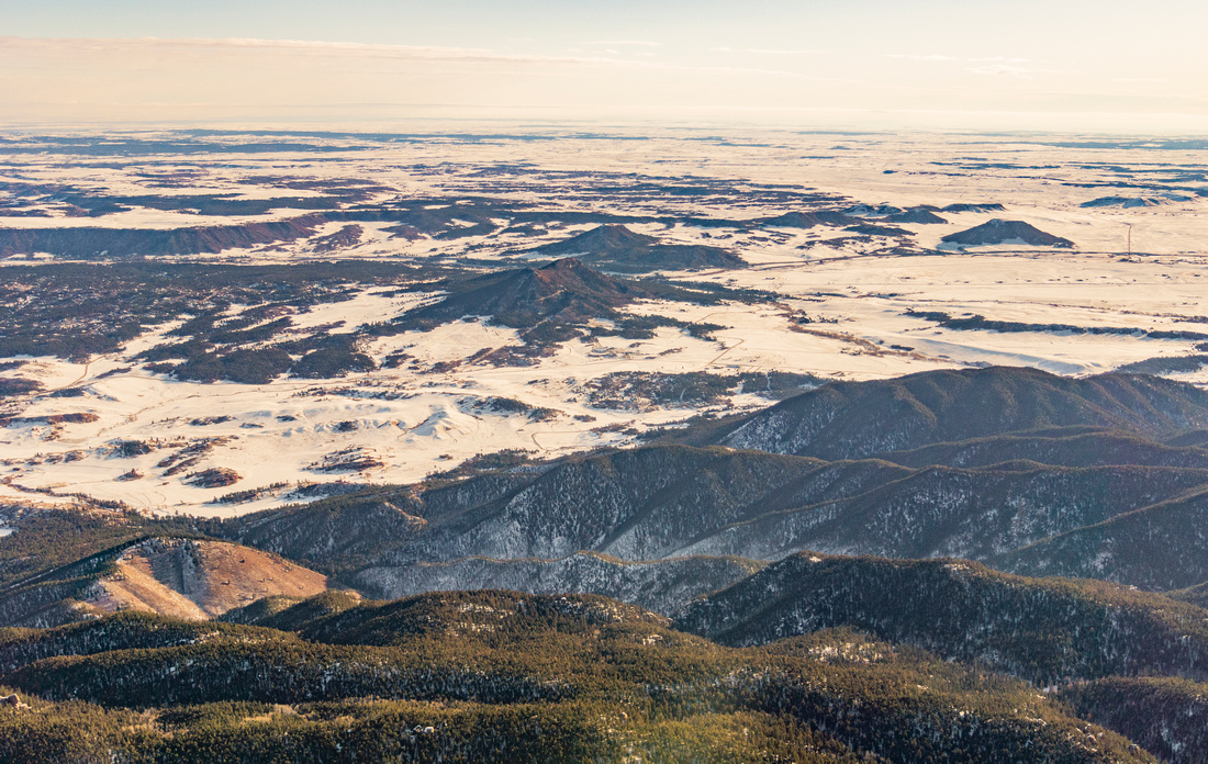
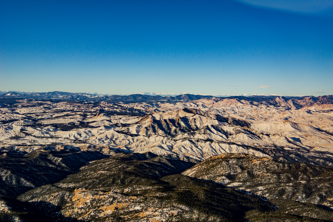
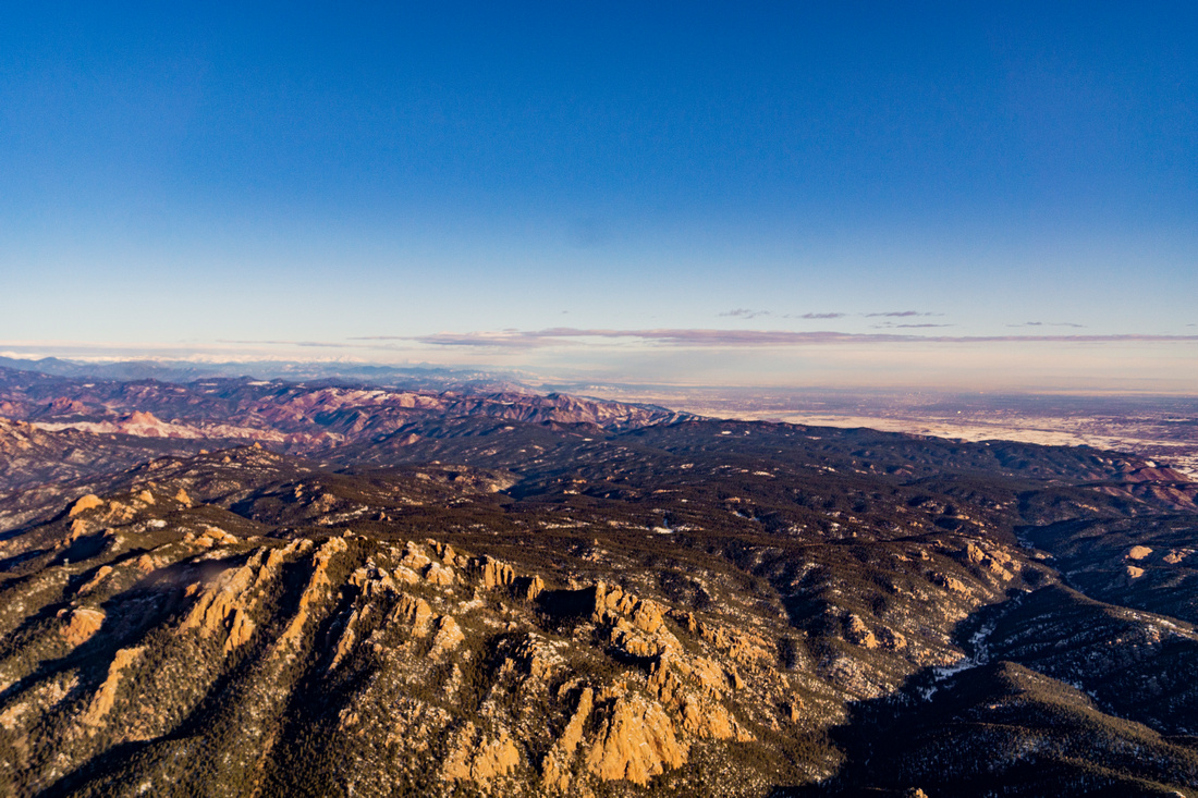
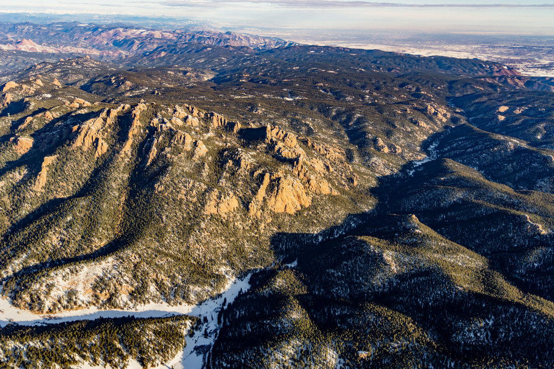
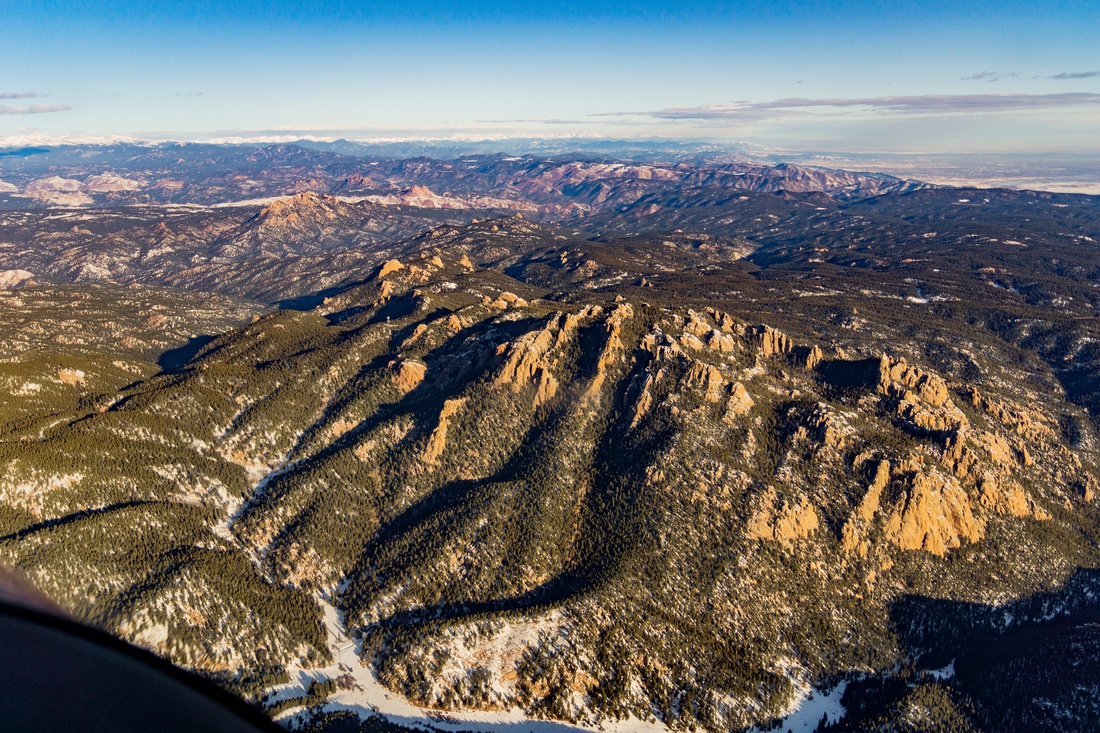
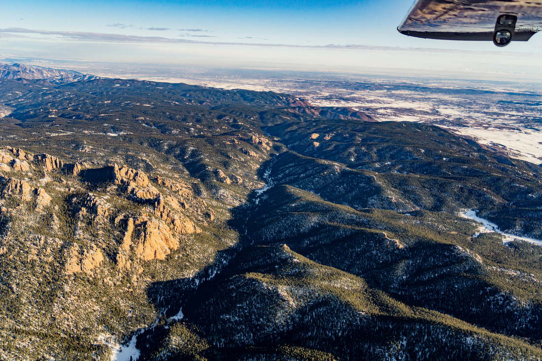
The 2.3 million-acre Pike San Isabel National Forest (PSI) forms the majestic backdrop to southwest Denver, Colorado Springs and Pueblo, and borders many mountain communities like Salida, Buena Vista, and Fairplay and is the third most visited national forest in the country.
The Forest has over 2,000 miles of roads, many of which are largely leftover from a bygone era of timber and mining. Across the PSI, there are more than 500 miles of motorized trails for dirtbikes, ATVs, and other off-highway vehicles. According to the USFS, only 6.5% of recreation visitors to the PSI ride
OHVs as their primary activity. The rest participate in hiking, bicycling, nature viewing, photography and other quiet use forms of recreation.
Motorized trails impact wildlife habitat through fragmentation and noise. Erosion from unmaintained roads can result in sedimentation and impact drinking water utilities here in the Pike-San Isabel, the source of over 60% of metropolitan Denver’s water. The cost of maintaining roads in the Pike-San Isabel far exceed what the agency receives each year, with nearly 75% of roads going unmaintained each year.
The Forest Service is looking at alternatives ranging from plans focused on motorized recreation to plans focused on quiet recreation